About
Back to Dashboard
What This Is
Environment and Climate Change Canada (ECCC) publishes real-time observations from a network of coastal weather stations and moored buoys. That data is authoritative and freely available — but government portals can be slow to navigate, especially when you need a quick read on conditions before heading out on the water.
Marine Conditions takes that same data and presents it in a clean, easy-to-read format for mariners, sailors, paddlers, and anyone curious about what the ocean is doing right now. Wind speed and direction, wave heights, sea and air temperature, barometric pressure — at a glance, on any device.
Where the Data Comes From
All data is sourced directly from ECCC's real-time observation network. Nothing is modified or estimated — what you see is exactly what ECCC publishes. The network includes both land-based coastal weather stations and moored buoys anchored at key offshore locations.
The site currently monitors 18 coastal weather stations and 19 moored buoys — primarily along British Columbia's Pacific coast, with initial coverage in the Atlantic and Arctic.
Pacific Coast Stations
- Sisters Island — Strait of Georgia
- Ballenas Island — Strait of Georgia
- Discovery Island — southern tip of Vancouver Island
- Race Rocks — Juan de Fuca Strait
- Entrance Island — Nanaimo Harbour approach
- Saturna Island — southern Gulf Islands
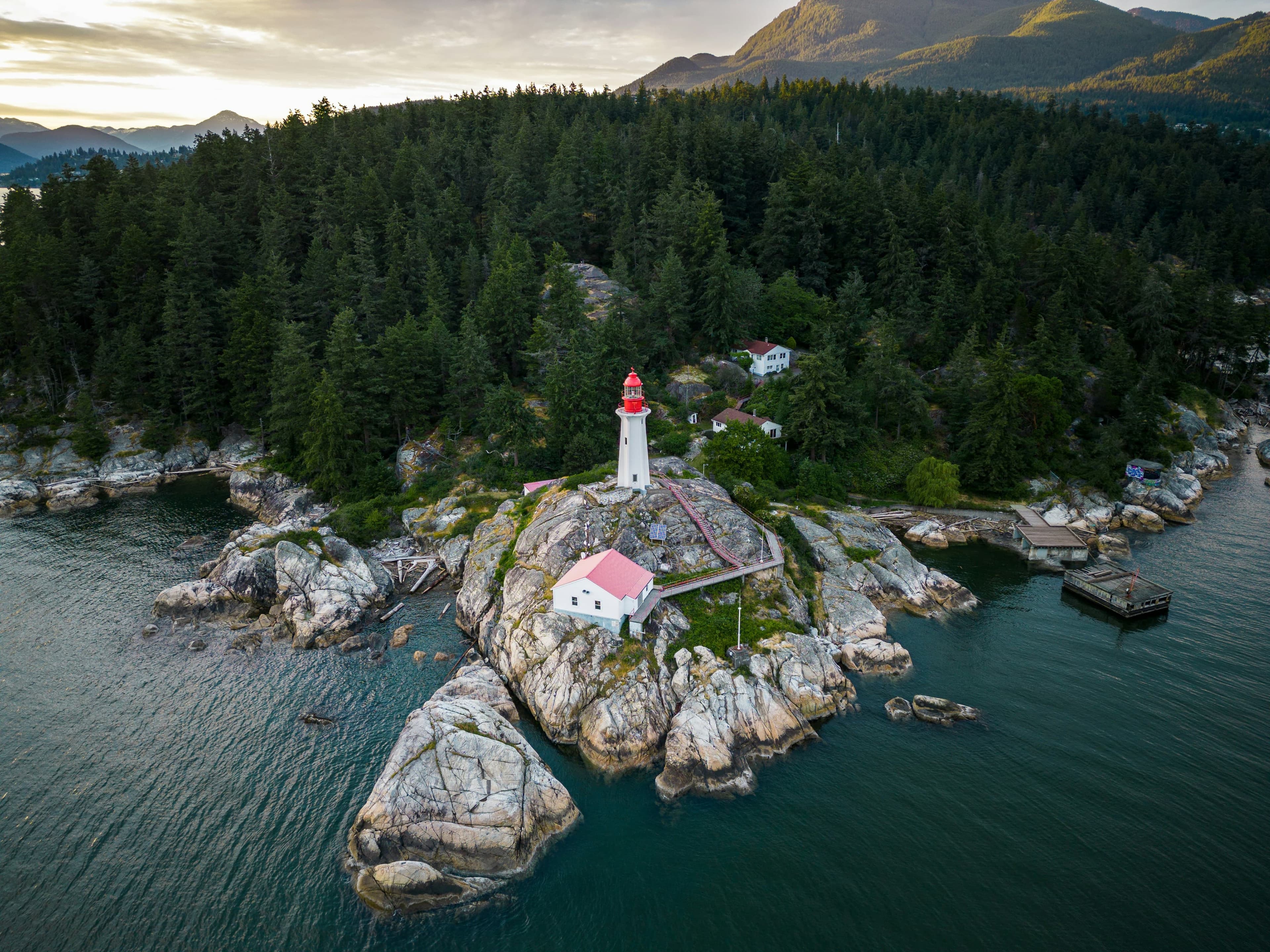
- Point Atkinson — West Vancouver
- Sandheads — mouth of the Fraser River
- Grief Point — upper Sunshine Coast
- Sartine Island — northern Vancouver Island
- Tofino — west coast Vancouver Island
- Estevan Point — west coast Vancouver Island
Pacific Coast Buoys
- Halibut Bank — central Strait of Georgia
- Sentry Shoal — northern Strait of Georgia
- Entrance to English Bay — Vancouver Harbour
- Southern Georgia Strait — south of Galiano Island
- La Perouse Bank — outer coast, southwest Vancouver Island
- South Brooks — Brooks Peninsula, northern Vancouver Island
- South Nomad — offshore Pacific
- East Dellwood — Haida Gwaii region
- South Hecate Strait — between Haida Gwaii and mainland
- West Sea Otter — outer Haida Gwaii coast
Atlantic & Arctic
Early coverage includes Banquereau Bank (Atlantic) and Resolute (Arctic), with more stations planned as ECCC data feeds are integrated.
How Fresh Is the Data
Observations are collected from ECCC hourly and stored so the dashboard loads quickly. The page refreshes automatically every 5 minutes, so you're always seeing the latest available reading without needing to reload. History charts show up to 48 hours of past observations for any station or buoy.
Coverage
The site starts with stations and buoys along the British Columbia coast. ECCC operates observation networks across all of Canada's coastlines — Atlantic, Pacific, and Arctic — and the goal is to expand coverage to more Canadian regions over time.
Built By
Marine Conditions is a personal project developed and maintained by Ronnie Johnson.
Data Attribution
Weather data is provided by Environment and Climate Change Canada under the Open Government Licence – Canada.